

Contents of this page may be automatically translated, we take no responsibility for the accuracy of the translation. Feel free to contact our customer support centre if you have any questions.
Network RTK can be used for many different purposes in addition to the typical measurement applications within e.g. property formation and mapping. Here you will also find some examples of other applications.
Geodesy and measurement
Swepos provides the possibility of position determination at the centimetre level for users with advanced GNSS equipment, in real time as well as with post-processing. You get the position directly in the reference system SWEREF 99. 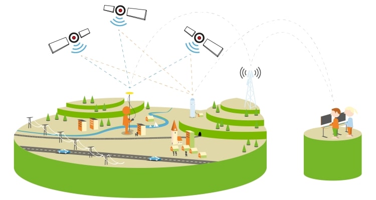
Assignments where Swepos' services can help you, are for example surveying for property formation, stake outs or machine guidance for construction work.
There are also a few free services that can be used for planning, accomplishment and evaluation of your measurements.
Agriculture
Let the agricultural machinery run itself! Implement precision farming with Swepos' services in in combination with machine guidance.
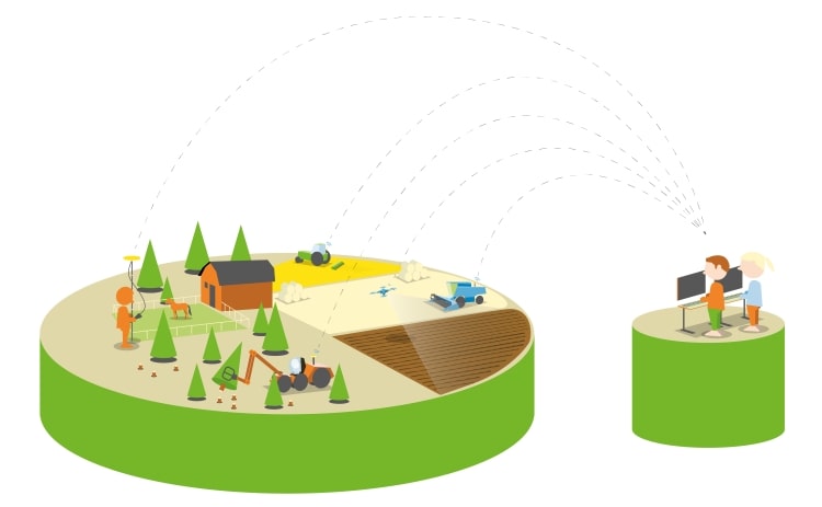
The machinery controls itself and the overlap between the lines in the field can be reduced when the machine runs with centimetre accuracy. In combination with information about the crop growth in different parts of the field, you can adjust the fertiliser distribution for maximum yield, which has positive effects on the economy, as well as the environment as the machine's fuel consumption decreases and the amount of fertiliser can be adjusted to limit environmental impact.
Business and technology development
A robotic lawnmower that can run with centimetre accuracy, a ski-slope preparing machine that assesses snow depth, self-driving vehicles – do you have a product that needs to be positioned at the centimetre level?
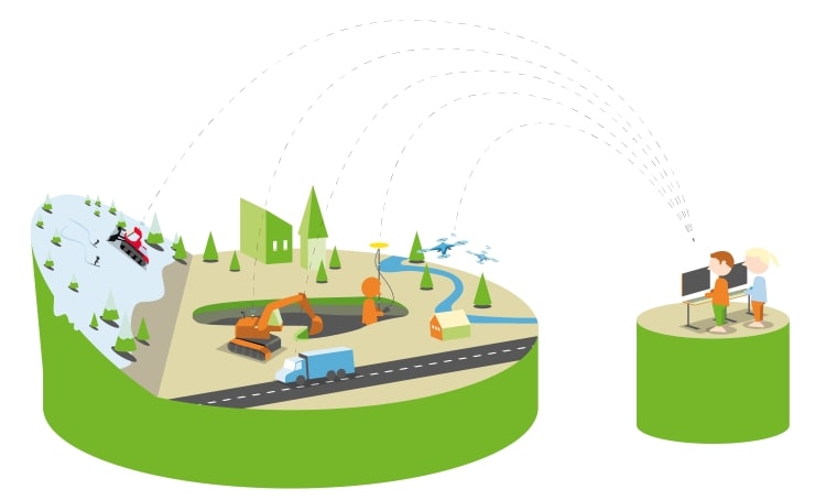
If you need to position yourself with centimetre accuracy in real-time, the mobile phone will not suffice. When you connect a GNSS receiver to Swepos, you can get the position at the centimetre level. Swepos is an important part of the geodetic infrastructure and provides the opportunity for navigation support and accurate positioning for a variety of GNSS applications.
Other services from Swepos
In addition to Network RTK, Swepos also offers other services, such as
- The free support services that are gathered in Swepos' Service Portal.
- Swepos data for post-processing, if you do not need your position in real-time
- Open data – a real-time positioning service at metre level accuracy.