

Contents of this page may be automatically translated, we take no responsibility for the accuracy of the translation. Feel free to contact our customer support centre if you have any questions.
Here you can learn more about geodesy and get support on issues relating to geodetic surveying and GPS.
What is geodetic surveying?
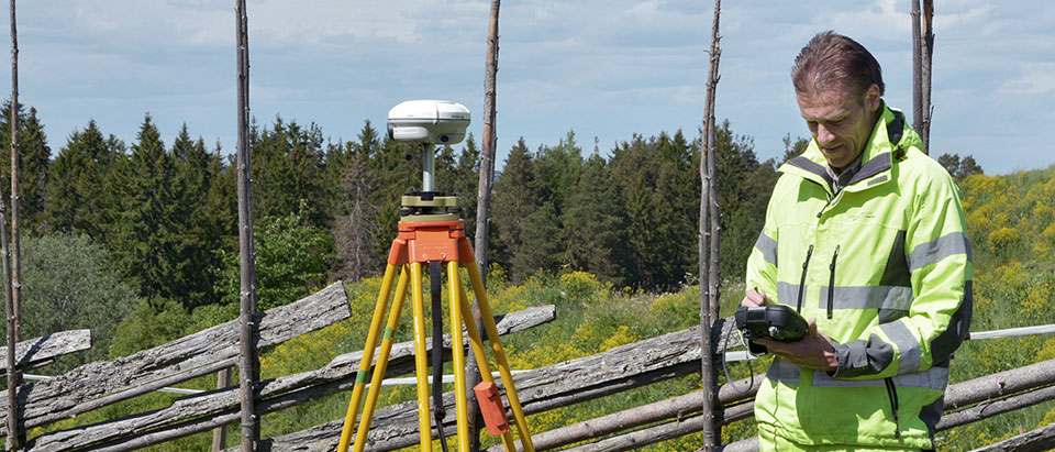
Geodetic surveying involves measuring or staking out points on the ground with high accuracy. GPS and other satellite-based systems are important tools for this work.
Geodetic surveying is essential for e.g. design of a building, work with pipelines or when a road or railway shall be constructed. The position of the points is determined with high precision, either in relation to each other or to a reference system.
Today, much of the survey is carried out using GPS and other satellite-based systems, such as Russian Glonass or European Galileo. A collective name for these systems is GNSS, Global Navigation Satellite Systems.
Swepos provides accurate positioning
Lantmäteriet operates and develops Swepos®, a Swedish network of permanent reference stations. Along with users' GNSS receivers, the network provides opportunities for navigation support and accurate positioning.