

Contents of this page may be automatically translated, we take no responsibility for the accuracy of the translation. Feel free to contact our customer support centre if you have any questions.
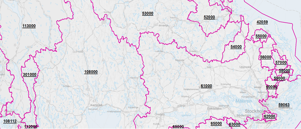
Sweden's watercourses are divided into a large number of main catchment areas defined by SMHI (Swedish Meteorological and Hydrological Institute).
Main catchment areas are catchment areas that affect Sweden, which open into the sea and which, when defined, had an area that was greater than 200 square kilometers.
SMHI gives them a HARO code and usually also its name. The name is based on the main watercourse that empties into the sea.
Read more about Sweden's main catchment areas on SMHI's website (in swedish, new window)