

Contents of this page may be automatically translated, we take no responsibility for the accuracy of the translation. Feel free to contact our customer support centre if you have any questions.
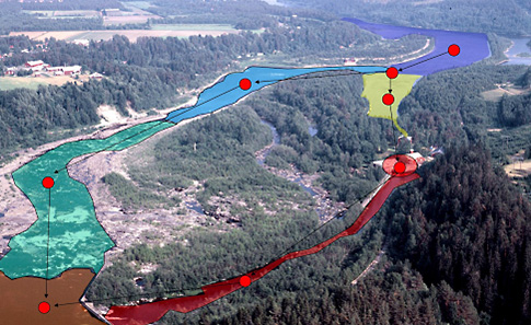
Hydrography forms the basis for many other geodata and not least for analyzes of everything in the landscape that has connections to water.
Good data provides accurate assessments
The need for good hydrographic data with a good geographical description level and cohesive structure is great in several business areas. Good data enables correct assessments, for example in the environmental sector and in climate adaptation work.
A nationwide hydrographic network
Lantmäteriet and SMHI have therefore initiated a collaboration on hydrography and created a nationwide hydrographic network, which can be downloaded in the product Hydrography Download and displayed in the product Hydrography Display Inspire.
Contact
For questions regarding hydrography and hydrography products, contact Geodata Support
To report product errors, go to Improve the map.