

Contents of this page may be automatically translated, we take no responsibility for the accuracy of the translation. Feel free to contact our customer support centre if you have any questions.
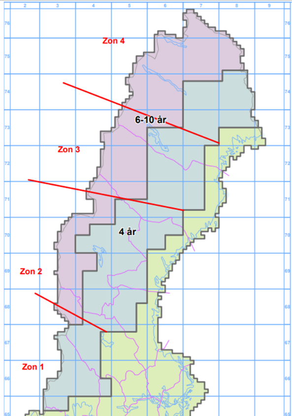
From the aerial photography season 2023, four zones will be applied in the area that are aerial photographed at an interval of 4-10 years.
The plan is to photograph selected areas with a resolution of 0.15 m / pixel in one zone per year. All municipalities in these zones get their central town or other selected area aerial photographed with a higher resolution compared to the areas outside.
Zone 1: Årjäng, Forshaga, Arvika, Charlottenberg, Sunne, Filipstad, Torsby, Munkfors, Hagfors, Hällefors, Malung, Vansbro, Älvdalen
Zone 2: Edsbyn, Ljusdal, Sveg, Svenstavik, Bräcke , Hammarstrand, Åre, Östersund, Krokom, Ström sund, Dorotea, Åsele, Ånge
Zone 3: Vilhelmina, Lycksele, Vindeln, Storuman, Malå, Norsjö , Sorsele, Arvidsjaur, Arjeplog
Zone 4: Jokkmokk, Överkalix, Övertorneå, Gällivare, Pajala, Kiruna
2023 aerial photography begins with zone 2 and then the zones in order 3 2024, 4 2025 and 1 2026. Then we start again with zone 2 2027.
Before each year, the municipalities that are within the current zone, for future aerial photography, can choose which urban area / area which they want to have aerial photographed in cases where they want an area other than the central town.
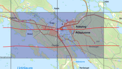
If the municipality does not announce which area they want to choose before June 30th, before the respective aerial photography season, the municipality's central town will be photographed. The area that can be selected may have a maximum spread of four contiguous index panes of five kilometers.
Selection of area
In the If the municipality wishes aerial photography of an area other than the central city, it must be notified Lantmäteriet no later than the first of September by an email to visning.utfall@lm.se with the following information:
- City/Area (maximum four index boxes of five kilometers):
- Municipality:
- Submitted by
- name:
- Contact information
- telephone:
- e-mail:
Read more about image supply program and see plans and outcomes for aerial photography.