

Contents of this page may be automatically translated, we take no responsibility for the accuracy of the translation. Feel free to contact our customer support centre if you have any questions.
The management of the national geodetic reference networks includes the active reference network Swepos, the passive GNSS points in SWEREF 99 and the reference network for the height system RH 2000.
Later on, the reference network for gravity (RG 2000) will also be covered by the management.
Management of the active reference network Swepos
SWEREF 99 is realised by the national active reference network Swepos, where the 21 fundamental stations play an important role through their stability and continuity.
The management is carried out in such a way that any changes to the fixed reference stations should not affect the user. In order for the active reference network to provide stable coordinates over time equipment changes, for example, are made at the fundamental stations only if absolutely necessary. Other changes such as software change and calculation strategy are made with great care. Supervision based on type of station is carried out regularly, but consists mainly of annual service or service when needed.
The management of the active reference network also consists of various calculations and analyses in order to monitor the stability of the stations and to detect any problems.
Management of passive GNSS points in SWEREF 99
In addition to the active reference network, there are about 300 stable points with good conditions for GNSS measurement, so-called consolidation points. These passive points are needed, among other things, to check the active reference network and provide the opportunity to detect any movements in the earth's crust between the Swepos stations established on solid bedrock. The points are determined in SWEREF 99 and many also have a levelled height in RH 2000.
These points are inventoried and measured repeatedly to check the measurement and calculation system in the active reference network. For the consolidation points that have a levelled height and form the basis for geoid determination, the RH 2000 height is also checked by levelling to nearby benchmarks.
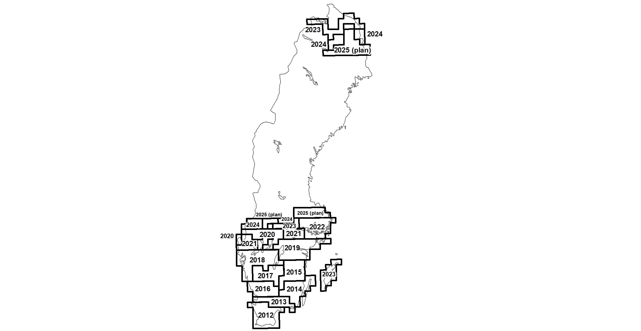
Management of the height reference network
RH 2000 is realised by the heights of the benchmarks (which agrees with the heights of their neighboring points) which were included in the third precise levelling or which were added later in connection with various densifications or during the regular updating. This definition implies a passive realisation of the height system.
The management means that all benchmarks are inventoried. A selection of the destroyed benchmarks are then replaced according to special guidelines. Ususally, they are levelled in subsequent years from surrounding benchmarks. If necessary, densifications and re-measurements of the reference network are also carried out, connecting the new measurements to existing stable benchmarks. All measurements are carried out in such a way that new heights are of the same quality as the older ones.
A more detailed description of the management of the national geodetic reference networks can be found in Lantmäterirapport 2019:1 (pdf, in Swedish, new window).