

Contents of this page may be automatically translated, we take no responsibility for the accuracy of the translation. Feel free to contact our customer support centre if you have any questions.
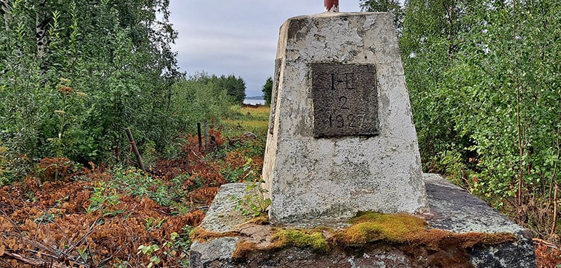
The national boundary on land between Sweden and Finland runs from Treriksröset down to Haparanda and out through the Haparanda archipelago and a short distance on the island of Märket in the Åland Sea. This boundary mainly follows the main course of the flows of the Könkämä, Muonio and Torne Rivers.
Where does the national boundary run?
The places where the national boundary between Sweden and Finland runs on ground are limited to a short distance at Treriksröset, a section around Haparanda, some islands in the Haparanda archipelago and the passage of the island Märket in the Åland Sea.
The latest review
The most recent review of the national boundary between Sweden and Finland was made in 2006. Stig Jönsson was Swedish Head Boundary Commissioner and Stefan Gustafsson was Swedish Boundary Commissioner. Some maintenance of the boundary has since then been carried out and in conjunction with the restoration of Treriksröset in 2022, the three boundary markers in its immediate vicinity were also handled.