

Contents of this page may be automatically translated, we take no responsibility for the accuracy of the translation. Feel free to contact our customer support centre if you have any questions.
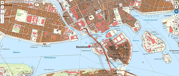
In My Map you can view detailed maps and aerial photographs over the whole country and search for places, addresses and real properties.
Use our services
You can do this in My Map
It is possible to save or print a PDF in any scale over a desired area and use it as a hiking map for example. You can choose to share the map with friends or measure a route and then display an elevation profile on the route.
The Map’s Real Property Boundaries are not exact
Remember that the real property boundaries in My Map are not legally binding. This means that you should not refer to the map’s boundaries if you want to build, cut down forest or make other changes at a property.
For a building permit application, you should first contact your municipality to find out what map basis is needed for your inquiry.
Read more about the map´s boundaries.
Help and tips for the service My Map.
For maps on paper from Lantmäteriet we refer to the service Map Printing where you can save or print a map/atlas in the predetermined scale of 1:10 000 and 1:50 000. The service has the same map information which previously was found in the Property map, Terrain map and Mountain map.
My map as an App
We want Lantmäteriet’s maps to be available and easy to download to your smartphone. My Map apps provide you with up-to-date maps and aerial photographs in order to always have a detailed map available with basic tools so the map will be used.