

Contents of this page may be automatically translated, we take no responsibility for the accuracy of the translation. Feel free to contact our customer support centre if you have any questions.
27 September 2023
An address register available to all citizens, a new positioning system with centimeter precision and important steps towards digitizing historical documents. Those are results from Lantmäteriet's five-year collaboration with North Macedonia.
Lantmäteriet's project in North Macedonia took off during the Covid epidemic. At the time, the conditions for getting started with the project and building relationships were challenging, to say the least. However, with the help of good technology and a good willingness to cooperate, the project still got through the pandemic in a good way.
Five different parts
The project consisted of five sub-projects; Address register, Geodesy, National spatial data infrastructure (NSDI) and Scanning, where experts from different parts of the Land Survey have participated.
At the beginning of 2022, when it became possible to travel again, the results began to show up. Study visits from North Macedonia in Sweden and Lantmäteriet assignments to Skopje replaced each other.
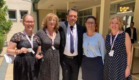
“Digital training, workshops and online meetings are good. But the physical meetings usually give better results, which we noticed after Covid”, said Jenny Svennewall, project manager at Lantmäteriet.
In June 2023, a project summary was carried out in Skopje, where the project's results were presented. With the support of Sida ( Swedish International Development Cooperation Agency), all addresses in North Macedonia have now been gathered and they are now public. The address registry has already used to conduct a census in 2022.
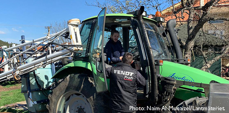
Positioning systems help farmers
This year, the first farmer has joined the new positioning service MAKPOS, similar to the SWEPOS service in Sweden. Farming machines now run with centimeter precision and can thus save on seed, fertilizer and fuel.
The cooperation around NSDI has been established and the Land authority in North Macedonia, AREC, has taken the role of coordinators in a good way with several datasets now available in the geodata portal.
In the IT area, AREC has made a decisive decision to rebuild their IT-system, following new knowledge in IT studies. In order to scan and digitize all historical documents, a "pilot office" has been set up to test the process, train employees and plan for a large-scale scanning center.