
 Dissemination Permit
The most important aspect of our review is that we are able to connect your photographs and videos to a location. Consequently, be sure to sort the material by location of where it was depicted. If you have files from different locations, it is a good idea to sort the files into folders named by location.
High resolution material
Send the original files or images in JPG format with the highest resolution of what you wish to distribute. If you send low-resolution photos or films, we will not be able to see important details that could affect the decision. Only the material submitted can be licensed for dissemination.
Make sure your device stores the geographical location inside your files
The application process will go smoother if your material contains information about the geographical location (ge-otagging).
Most of the camera equipped drones have a setting that makes it possible to store information about the geographical location directly inside your videos and images or as metadata files beside the footage (for exam-ple .SRT files for videos).
Make sure that your equipment saves the location infor-mation in your files. You do that by doing the following:
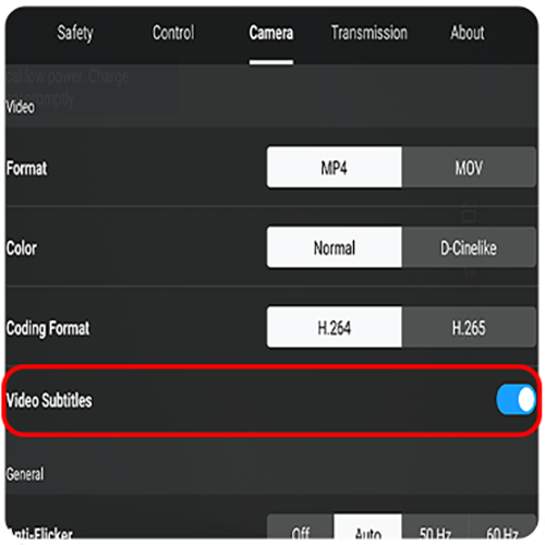
1. Activate video subtitles
Sometimes the functionality to store this information needs to be activated inside the settings before starting the flight, how this is done differs between manufacturers, usually this setting is called Video Captions, Subtitles or Geotagging.
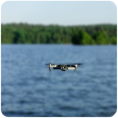
2. Fly your drone
Fly as usual with your drone. Every video that you record will save the GPS-information in a separate subtitle file.
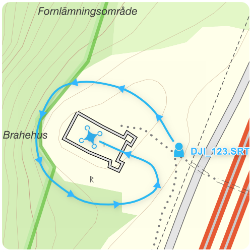
3. After you have made you flight
Attach the SRT-files together with the video-files in your application. From the information in the SRT-files we can get an exact location about the flying route, which will help us in reviewing the material.
If your equipment does not have this setting, you can cap-ture a photo of the area you are filming and attach it with your material. As photos are usually geotagged by default on most camera equipped drones.
Compress your files
Lantmäteriet´s file transfer service works best if the files are at most 5 GB/each and maximum total upload is 50 GB. If the amount of data is very large, the material may instead be placed on an external storage medium and sent in by traceable shipping.
If it´s LiDAR-data.
If there are large amounts of image material.
If you use the file transfer service and have large files, it may be necessary to split or compress your material in order to upload it. You can do this using, for example, 7-zip for Windows or Keka for MacOS. There is also other soft-ware available.
Guider:
Zip files with 7-zip (pdf, new window).
Compress files with Keka (pdf, new window).