

Contents of this page may be automatically translated, we take no responsibility for the accuracy of the translation. Feel free to contact our customer support centre if you have any questions.
Information about plans and outcomes from Lantmäteriet, municipalities and other organizations that want to make their plans and outcomes visible for aerial photography and laser scanning.
Use our services
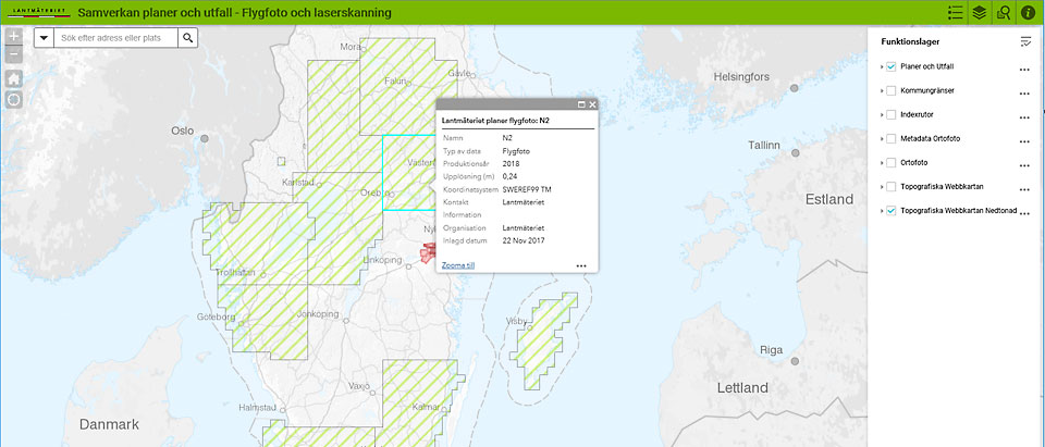
Find information on plans and outcomes for aerial photography and laser scanning from Lantmäteriet , municipalities and other organizations.
The following browsers are recommended: Chrome, Edge, Firefox, Internet Explorer 11, not in compatibility mode, Safari.
The Tutorial (in swedish, pdf, new window) describes how to use the different parts of the service.
Do you want to contribute?
You who from the municipality or other organization can contribute with information/plans and outcomes in the service, see examples of forms and shapefiles for delivery of your information.
Fill in form (in swedish, xls, new window) and send to visning.utfall@lm.se
If you have comments on the service, you are welcome to contact us at the same address.